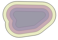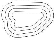
You must draw a shape in order to create a buffer.
To start drawing a shape, click one of the following buttons in the side panel:
You must first create a buffer before you can use the download function.
Would you like to return the output features as polygons (default) or lines?

polygon output

line output
Your password reset link has been sent to your email address
Click the link in the email to reset your password. Be sure to check your spam folder if the email isn't in your inbox
Reset links are only valid for 15 minutes
Do you really want to permanently delete the following layers from your profile?
These layers cannot be retrieved once deleted.
If you used these layers in other projects they will be removed from these projects.
The NSPIT Viewer help is available in PDF format and in a separate help portal.
Download the PDF
Open the NSPIT Help Portal
Start help tour
For a step by step introduction, simply reload this page and start the tour. If the tour does not show up, reset and reload the page.
For questions and further information please use our contact form or email us at feedback@nspit.info.
The National Spatial Planning Information Technology (NSPIT) Platform functions as Jamaica's spatial data infrastructure to improve decision making in planning and national development, providing government agencies, educational institutions, the private sector, and citizens access to Jamaica’s spatial data. The system will also connect to other infrastructures that are important to investors and government agencies in Jamaica.